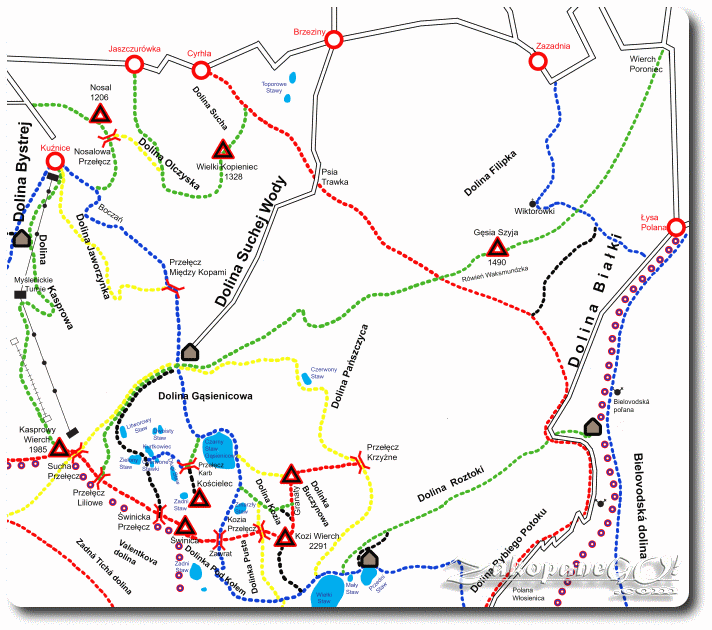
Wierch Poroniec – Hala Gasienicowa – Liliowe Pass
![]()
Difficulty Level: *
Walking Time: 5h 55′ (13,7 km)
![]() 1147m (3763ft)
1147m (3763ft)
![]() 312m (1024ft)
312m (1024ft)
Climbing Features – NO
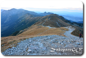
Highest Point: Liliowe Pass – 1952m (6404ft) a. s. l
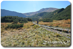
We set off from Wierch Poroniec, where there is a paid parking for cars, toilets and a ticket office for TPN. The first section of the trail leads conveniently parallel to the Oswald Balzer Road.
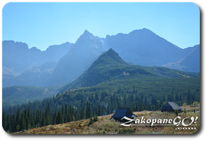
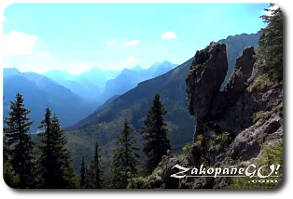
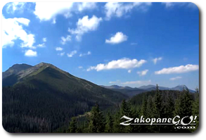
You can see the beautiful mountains belonging to the Slovak part of the Tatra Mountains. After a few minutes we enter the forest, which, except for a few small clearings, we do not leave until Polana Rusinowa (Rusinowa Glade).
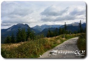
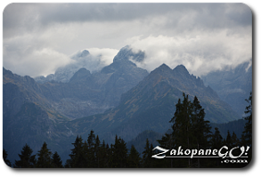
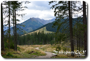
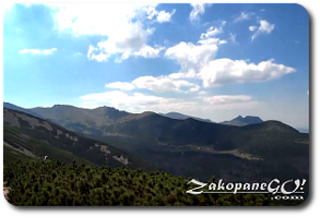
Less than a kilometre before reaching it, we bypass Goły Wierch (Bare Peak – 1206 m a.s.l) along its northwestern face. The entire length of the trail leads along a broad, comfortable path and overcomes only slight differences in altitude. After less than an hour walk we arrive at Polana Rusinowa (Rusinowa Glade). It is known as a remarkably scenic place. On sunny days you can admire a wonderful and comprehensive panorama of the High Tatras and Belianske Tatras.
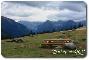
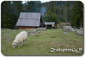
For centuries, the glade was used for grazing sheep. Currently, grazing is limited to approx. 200 animals as part of nature preservation efforts in the park. There is a lot of tables and benches and a shepherd’s hut where tourists can buy local products made from sheep’s milk: oscypki, bundz or zetyca. From Rusinowa Glade we head towards the south-west. From the very beginning of the trail we climb steeply- first on the grassy slope, and then into the spruce forest. The path is in the form of wood and stone steps.
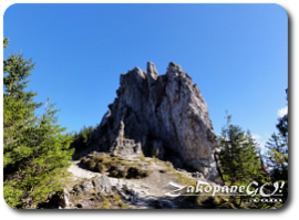
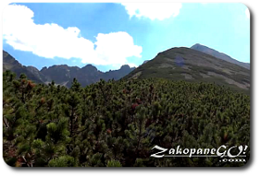
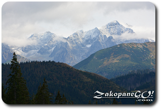
This approach, though not long, is a rather tiresome one. We come out onto small clearings several times, but the most beautiful views await us on top of the Gesia Szyja (Goose Neck – 1490 m a.s.l), which is reached after about 45 minutes of hiking from Rusinowa Glade. Gesia Szyja is almost entirely covered with pine forest, except the peak – a group of dolomite rocks with a height of about 15 m called Waksmundzkie Skaly. Their picturesque, irregular shapes give this place a real charm. To the east, Belianske Tatras, the south-east and south beautiful High Tatras in the bottom of the Dolina Białki (Bialka Valley) and Dolina Białej Wody (White Water Valley).[wrc_column grid=”3″ width=”1″ type=”start”]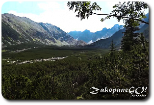 [/wrc_column]