Via Strazyska Valley onto Giewont
![]()
![]()
Difficulty Level: ***
Walking Time: 3h (5,7 km)
![]() 967m (3173ft)
967m (3173ft)
![]() 30m (98ft)
30m (98ft)
Climbing Features – Metal chains & brackets
Highest Point: Giewont – 1894m (6214ft) a. s. l
The first section of the route passes through the extremely popular Dolina Strążyska (Strazyska Valley). The entry point is the meeting of Strazyska street and Droga Pod Reglami – a pedestrian route running at the foot of the Polish part of the Western Tatras from the mouth of the Dolina Bystrej (Bystra Brook Valley) to the outlet of the Dolina Chochołowska (Chocholowska Valley).
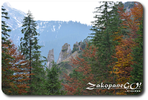
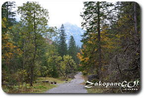
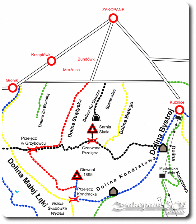
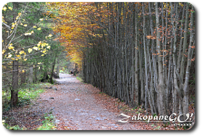
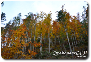
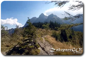
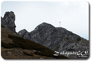
The first stage of the red trail runs flat along the valley floor; a comfortable, wide forest road along the Strążyski Potok (Strazyski Brook). On the right side of the valley, above the forest, we see the steep alps called Strazyskie Kominy. Next we pass the so-called Skała Jelinka (Jelinek Rock), on which there is an embedded plaque commemorating a nineteenth-century publicist who devoted his entire life to the Polish-Czech brotherhood. After just over half an hour of trekking we reach the Polana Strążyska (Strazyska Glade) and see the mighty Giewont – the aim of our trip.
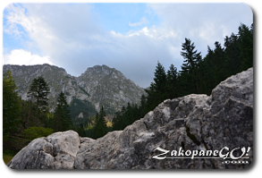
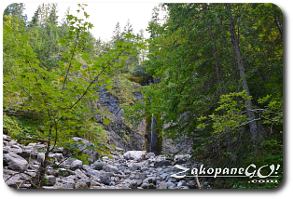
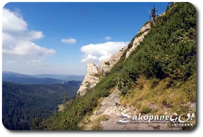
Here we find a bar within a small hut, a great place to rest ahead of the difficult part of the trail. Within 10 minutes you reach the Siklawica waterfall. A black coloured trail called Ścieżka Nad Reglami runs ahead, parallel to but at a much higher level than the aforementioned Droga pod Reglami. We head to the right up to Przełęcz w Grzybowcu (W Grzybowcu Pass – 1311m a.s.l), following the red and black trails running concurrently. We reach this forested mountain pass after about 45 minutes of steep approach. Turning left from the pass we come to the crossroads, black trail Nad Reglami splits off here. From now on we follow only the red routes. From Grzybowiec, we see a magnificent view of the entire Giewont massif from an alternative angle.
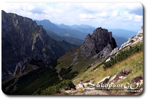
Shortly after reaching the Bacuch Pass, we come to the characteristic rock indentation through which our path continues. Due to the proximity of the gap, we should be very careful when crossing it. Now we begin the hardest and most exhausting approach which culminates at Wyżnia Przełęcz Kondracka (Upper Kondracka Pass) just below Giewont. Just prior, we reach Siodlo Pass, then turn left marching uphill along the narrow and steep stone path. A 15 minutes trek up the steep scree and we reach Wyżnia Przełęcz Kondracka (Upper Kondracka Pass – 1765 m).
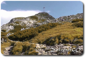
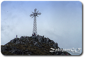
Now follow the blue signs, turn hard to the left and climb Giewont along a sequence of input strings, carved into the rock steps and metal brackets. It is important to mention, during peak season, a one way system operates at the peak. Always follow the signage! The summit of Giewont is quite narrow. Caution should be exercised at the top. Keeping in mind a 600-foot precipice on the north side. A metal cross on top should remind us that in case of any signs of an approaching storm, we should immediately give up the ascent!!! In fin eweather, there is a gorgeous panorama of the city. After returning to the pass, we can choose another return rote located slightly below the Przełęcz Kondracka (Kondracka Pass) following the blue signs to the Dolina Kondratowa (Kondratowa Valley) and Kuznice or follow the yellow signs to Dolina Małej Łąki (Little Meadow Valley.