Kuznice – Nosal
![]()
Difficulty Level: *
Walking time: 1h 15′ (2,5 km)
![]() 175m (574ft)
175m (574ft)
![]() 238m (781ft)
238m (781ft)
Climbing Features – NO
Highest Point: Nosal – 1206m (3957ft) a. s. l
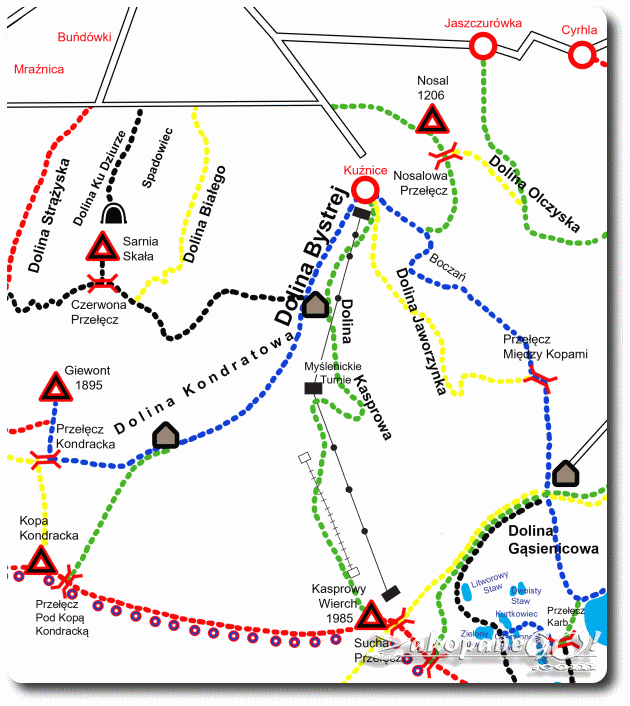
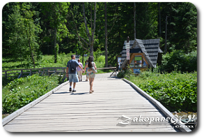
The route starts near the ground station of the cable car to Kasprowy Wierch, in Kuznice, along the joint green and blue trail leading left in the forest. After 10 minutes of arduous ascent along a wide, stony road we come to the crossroads of the routes, with the blue marked path leading to Hala Gasienicowa.
Following the green signs for another 10 minutes we reach the wooded Nosalowa Przełecz (Nosalowa Pass). The road leads through a dense forest and views are limited until we get nearer to the peak. From Nosalowa Pass we begin a steeper, rocky approach.
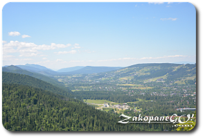
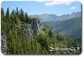
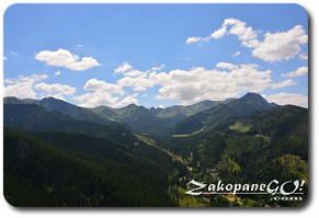
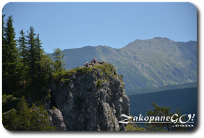
Within 20 minutes we trek about 100 meters uphill, reaching the top of Nosal which features dangerously high precipices. Caution is therefore advised, although we are not on a very tall mountain and the area may seem quite safe. The top of Nosal reveals a picturesque landscape of the Polish Tatra Mountains. We see most of the peaks such as Koszysta, Krzyzne, Granaty, Kozi Wierch, Koscielec, Swinica, Kasprowy Wierch, Goryczkowe Czuby as well as Malolaczniak and Giewont. The descent can be made along the same trail or by going down a steep path which leads us out around half way between Kuznice and the roundabout at the bottom of the single road leading up to it.