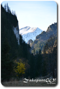
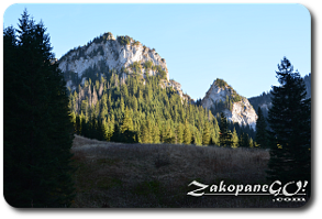
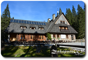
Leading up to the shelter
![]()
Difficulty Level: *
Walking Time: 2h 00′ (6,7 km)
![]() 385m (1263ft)
385m (1263ft)
![]() 83m (272ft)
83m (272ft)
Climbing Features – NO
Highest Point: Smreczynski Staw – 1226m (4022ft) a. s. l
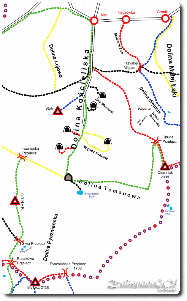
A very pleasant route, almost a stroll in the park you could say. The trip starts in Kiry, which you can reach by either bus or car within 15 minutes from the city centre. A broad, green marked trail leads us from start to finish. There is also a possibility of travelling by a horse drawn carriage from Kiry to Polana Pisana (Pisana Glade).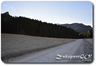
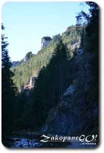
From the entrance to the valley we initially walk along the few buildings. After about 10 minutes we pass through the narrow valley called Brama Kantaka (Kantaka Gate) which brings us out onto a very broad glade called Wyznia Kira Mietusia. In the middle of the clearing, just off the main road, a shepherd’s hut is situated where you can buy the popular and very tasty regional products from sheep’s milk. You will often see a flock of grazing sheep around. At the end of Wyznia Kira Mietusia we come to a crossroad, red trail leading onto Ciemniak with black labeled “Ścieżka nad Reglami” leading towards Przyslop Mietusi Pass. We cross a bridge over Koscieliski Potok (Koscieliski Brook) and continue to walk along a fairly small Cudakowa Polana (Cudakowa Glade). Soon after passing a short, forest section, we get to the next clearing – Old Koscieliska. This is a particularly interesting place, which for centuries was an important iron and steel works, while within Ornak there were numerous iron ore mines.
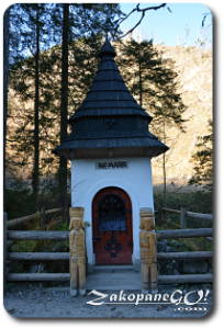
By the road, there is a small Kapliczka Zbójnicka (Robbers Chapel), which despite its name, was probably built by local workers. Unusually, there are a number of 150-year-old lime trees growing on the road side. Just before clearing, to the right, the black marked Sciezka nad Reglami peels off, leading toward Dolina Chochołowska (Chocholowska Valley). At the top of the clearing there is another crossroads, blue trail to Polana Stoły (Stoly Glade) and black which leads to Jaskinia Mroźna (Mrozna Cave).
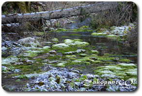
It is worth a little detour to the left to see the so called Lodowe Źródło (Ice Spring), a large spring pumping out water at a rate of 800 litres per second with a temperature of 4 degrees Celcius, which has its roots over 4km away in the underground cave systems of Czerwone Wierchy (Red Summits). Heading on we reach the picturesque Polana Pisana (Pisana Glade) which is the drop off point for the horse drawn carriages from Kiry and the starting point for the yellow trail leading towards the Smocza Jama cave and through part of Krakow Ravine. It is worth pausing for a moment to relax and unwind by the nearby creek on one of the many benches provided.
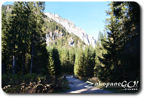
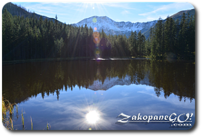
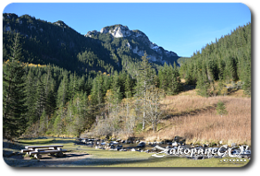
A few dozen metres further we come to the yellow trail leading to the Krakow Ravine. Note: the trail leading through the cave is a one way system. A few minutes later, on the right, we see the black and red trail leading to three caves: Mylna, Oblazkowa and Raptawicka. The path gets narrower and after around 10 minutes we reach a huge cross, erected in 1852, situated on our right on Hala Smytnia. We cross two bridges and arrive at the point where two trails branch off towards Czerwone Wierchy (Red Summits) and Smreczynski Staw (Smreczynski Lake) respectively. The short walk to the lake only takes around half an hour. Heading to the right on the other hand, we soon come to the shelter on Mała Polana Ornaczańska (Little Ornaczanska Glade).